Survey
aerial mapping, international projects
Part 107, RPIC (Remote Pilot in Command)
Background
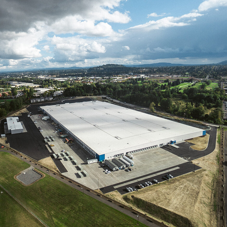
Joe is a skilled Surveyor and licensed drone pilot who joined KPFF in 2013. He assists with boundary and ALTA/ACSM surveys, topographic survey mapping, profile sheets, plats, government records research, and legal description preparation. Joe is frequently called upon to work on-site, managing crews and supervising field work. As one of KPFF’s unmanned aerial drone pilots, Joe is a private pilot and certified remote Pilot in Command (rPIC) under Part 107 of the Federal Aviation Regulations. He provides aerial imaging and mapping for clients, including special inspections for otherwise inaccessible areas such as bridges and other tall structures. He has projects throughout the Pacific Northwest and also travels abroad to support KPFF’s work for the Department of State, collecting survey data for new and expanded diplomatic facilities.
Contact Joe Jackson FLS, RPIC
This site is protected by reCAPTCHA and the Google.
Privacy Policy and
Terms of Service apply.


